Decoding Arabian landforms reveals more than geological history
An innovative approach to determining the forces that have shaped the south-east Arabian Peninsula over the past 20 million years could inform the success of future carbon dioxide storage operations.
Many of the Earth’s most notable geological features formed in the past 66 million years, a time known as the Cenozoic era. Understanding how these physical formations resulted from the planet’s shifting tectonic plates continues to inform earthquake prediction and the search for oil and gas, but may take on a new climate-change-related significance in identifying optimal sites for carbon dioxide storage and nuclear waste containment.
Francesco Arboit, from the Department of Earth Sciences at Khalifa University, in collaboration with colleagues from Trinity College Dublin in Ireland, is studying the Cenozoic compression: the collision of the northward-moving Arabian Plate with the Eurasian Plate as it moves north-north-east. This geological compression continues to shape the Arabian Peninsula, giving rise to features such as the Zagros Mountains in Iran, Iraq and Turkey, the Hajar Mountains in Oman and the United Arab Emirates, and the Southeast Arabian Foreland Basin that lies between them.
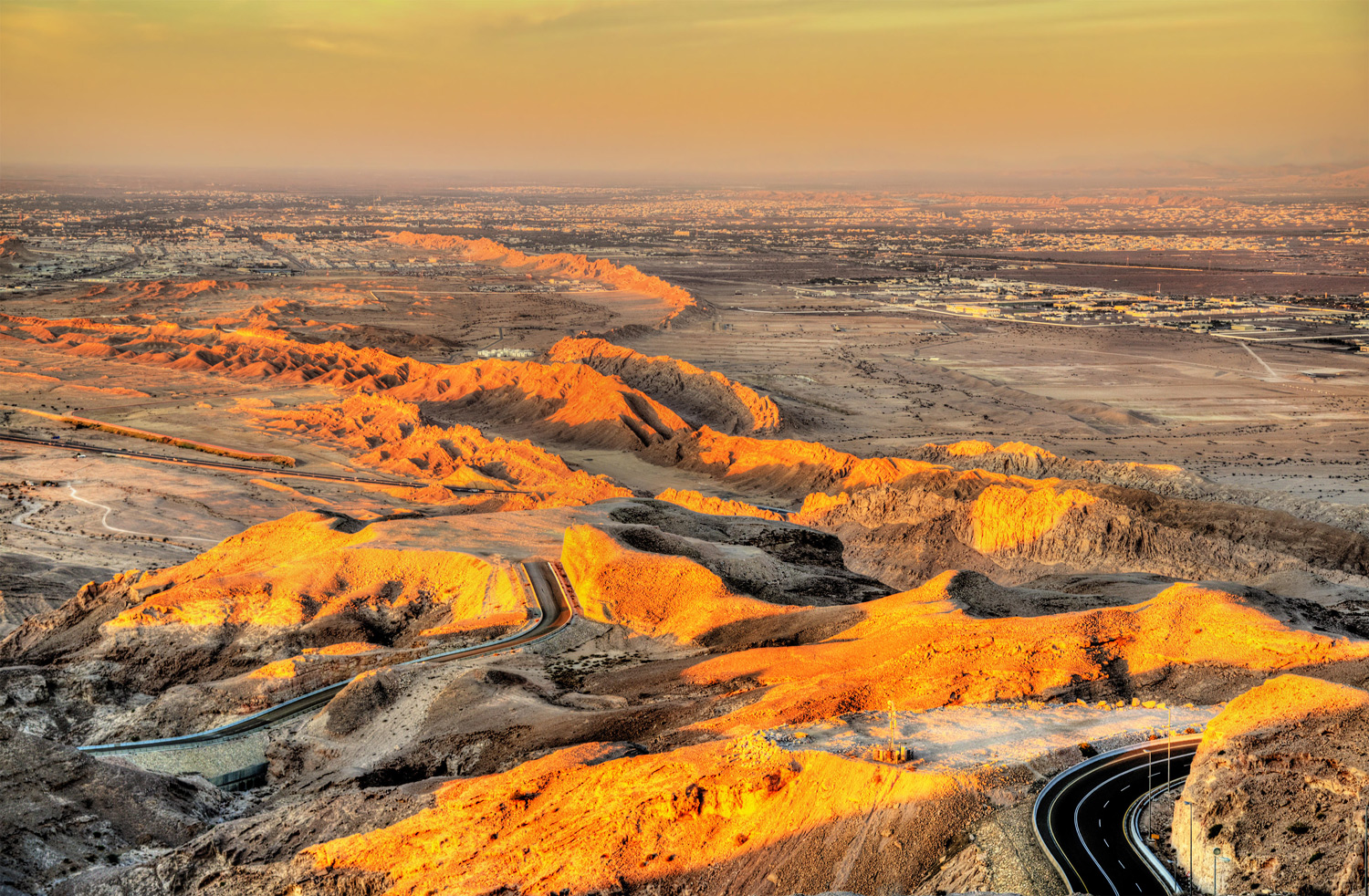
Several tectonic mechanisms have been proposed to explain how the foreland basin formed. Arboit points out that one tangible manifestation of these deformational effects can be seen at the surface of the Southeast Arabian Foreland Basin just outside the city of Al Ain. Here, the compressional forces have folded the rock layers upwards. The Jabal Hafeet anticline, composed of carbonate rock, stretches approximately 26 kilometres in length and spans five kilometres in width.
“We used an innovative approach to determine the absolute timing of the deformation events by mixing geochemical imaging with uranium-lead dating and geochemical characterisation of the cements that form in the rock fractures and faults,” explains Arboit.
By analysing 500 samples extracted from several separate locations throughout the anticline, the team unearthed a compelling timeline of events. The researchers concluded that the basin had been experiencing a steady east-to-west push of the Makran compression onto the Arabian Block, which has been evident in the Southeast Arabian Foreland Basin for about 20 million years. The movement has developed into three distinct phases of brittle deformation occurring around 20, eight and two million years ago, leading to the formation of the Jabal Hafeet mountain.
The team also identified carbonate veins within the basin, which shed light on the presence of complex hydrocarbons, suggesting a history of fluid flow from deeper rock formations to the surface during the Cenozoic period.
“While this research didn’t directly focus on carbon dioxide storage sites, the rocks we investigated yield key information for this purpose,” says Arboit. “So, it is of crucial importance to understand when and how these rocks were deformed to maximise the success of carbon dioxide storage operations.”
Reference
1. Arboit, F., Drost, K., Decarlis, A., Chew, D., Hennhoefer, D. & Ceriani, A. “The influence of Cenozoic Eurasia‑Arabia convergence on the Southeast Arabian Foreland Basin: new geochronological and geochemical constraints from syn‑kinematic carbonate mineralization.” Scientific Reports 13, 4387 (2023). | Article